
Atascadero Neighbors by Block Source
There is no authoritative citywide list of private Atascadero neighbors. An Atascadero block lookup is a set of smaller questions answered by different custodians. The county GIS map shows shapes and parcel keys. The assessor adds parcel characteristics and owner or mailing fields after an Atascadero APN is known. City permit and planning records show site activity. Reverse directories can place a listed occupant or business at selected past dates. A qualified voter-file requester may receive restricted fields, but the public Atascadero voter-status tool is for personal verification. Each Atascadero source has a different date, purpose, and privacy limit.
| Source | What It Shows About a Block | Access |
|---|---|---|
| SLO County GIS | Adjacent APNs, parcel shapes, land use, owner mailing and planning property address fields | Free interactive map |
| SLO Property Inquiry Portal | Parcel characteristics, ownership data, situs and mailing fields after the parcel is identified | Public APN or situs route |
| Atascadero eTRAKiT | Recent permits, projects, site contacts, inspections, and address-linked activity | Public search |
| California voter file | Registered voters and precinct data for a qualified requester, not ballot choices | Application and permitted purpose |
| Reverse directories | Listed occupants or businesses at selected street numbers and years | Library, archive, or report evidence |
| City planning documents | Named project sites, environmental files, and public applicants or representatives | Public city files |
The Atascadero City Clerk page identifies the office that keeps official city files, council records, elections material, and public-record request coordination. That Atascadero office route is useful for a public filing question, not for a private neighbor roster.
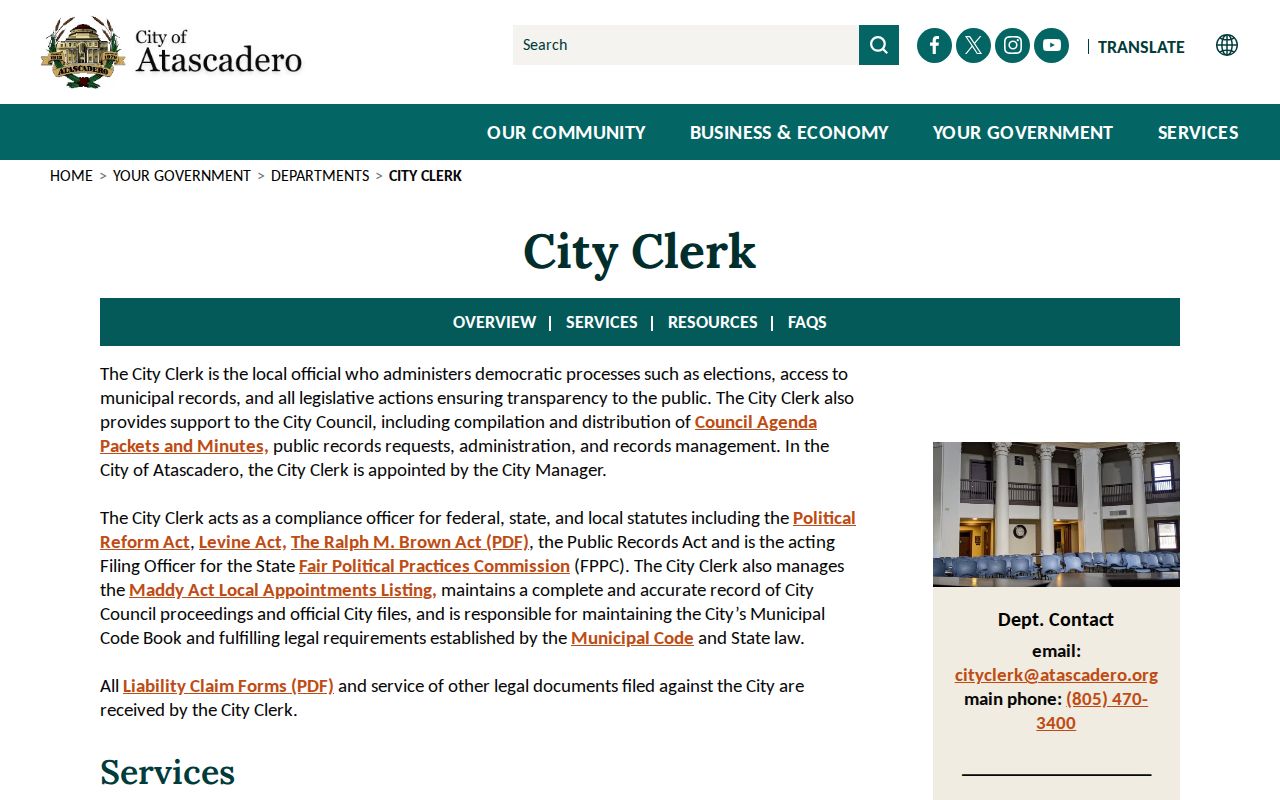
The clerk contact is a route to Atascadero public files and city process. It is not a private neighbor roster, and an Atascadero filing may contain a correspondent or applicant without identifying the people who occupy a nearby parcel.
Owner and occupant are separate roles. The Atascadero assessor may show an owner name, share, situs, and mailing address. A mailing address can belong to an absentee owner, trust, business, or manager. A different mailing address does not name the household at an Atascadero parcel. Neighbors research is strongest when every result is labeled by what the source actually proves.
Note: An Atascadero public owner field describes a parcel, not a head count of the people nearby.
Map Atascadero Neighbors Parcel by Parcel
The SLO County Interactive Data Viewer gives the clearest free Atascadero block method. Start with an Atascadero target address, geocode or zoom to it, and click the parcel. Save the APN before moving outward. Then inspect the parcels that share an Atascadero boundary or sit across the road. The visual walk can reveal a paper strip, a separate lot, or a planning address that would be missed by a simple street-name search.
- Open the SLO County GIS viewer, enter the Atascadero target address when geocoding is available, or zoom until the parcel is visible.
- Click the Atascadero target shape and record its APN. Click each adjacent shape, including an Atascadero parcel across the roadway, and save each APN separately.
- Follow Atascadero assessment or details links for each APN. Compare situs, owner mailing, and planning property address fields, while keeping the record date beside the result.
- Use Property Inquiry for Atascadero parcel characteristics and use eTRAKiT for address-linked permits. Neither system proves who occupies the land.
GIS boundaries are visual Atascadero research aids, not a legal survey. A line can mark a parcel, road edge, or right-of-way without describing a household. Eagle Ranch is an Atascadero reminder: much of the area follows the 1914 E. G. Lewis Colony map, and some paper-road rights-of-way connect present dead-end streets. A mapped strip may be recorded access land rather than a neighbor's lot.
When the question shifts from the immediate Atascadero block to every address on a named street, the Atascadero street directory supplies the broader address chain. The block method should remain focused on the Atascadero target radius.
Atascadero Neighbors in Permit Records
Atascadero eTRAKiT is useful for a recent Atascadero site check. Its public landing page separates permits, projects, registered professionals, properties, inspections, and business-license searches. An Atascadero permit search can use Permit Number, Site Address, Street Number, or Street Name. Where offered, filters include Permit Type, Status, and a date range. Address operators documented in the research include Begins With, Contains, Equals, At Least, and At Most.
An Atascadero result can name an applicant, contractor, design professional, property or site, permit number and type, status, dates, work description, reviews, fees, and inspections. Those fields describe a regulated project. They do not establish that an applicant lived at the site or that a nearby parcel's owner was present during the work.
The Atascadero planning-document files add another address-indexed layer. Their columns include Environmental Document Number, State Clearinghouse Number, Document Type, Project Name, City Project Number, Address, and Applicant or Representative. Searchers can connect a public Atascadero project to a site and its named participants, then stop there. The record is not evidence of who occupies the finished place.
Atascadero address form can also vary at one site. An accessory unit may use the main dwelling number with “Unit B,” while city fire and building rules call for visible numbers from the fronting street and, in some cases, rear-door or monument identification. An Atascadero block search should try the base number and unit suffix, but it should not turn an address format into a people claim.
Atascadero Community Geographies and Neighbors
Some Atascadero areas have a public civic or service identity without a public household list. An Atascadero assessment district can show a service area. An Atascadero neighborhood association can appear in a city event record. Firewise recognition can identify a bounded Atascadero community effort. None of those facts supplies a private membership roll. The table keeps Atascadero public geography separate from private affiliation.
| Public Area or Group | What the Record Supports | Boundary or Roster Limit |
|---|---|---|
| Atascadero Apple Valley assessment district | Assessment-district service geography and reports | No private member directory located |
| Atascadero De Anza assessment district | Assessment-district service geography and reports | No private member directory located |
| Atascadero Las Lomas (Woodridge) assessment district | Assessment-district service geography and reports | No private member directory located |
| Atascadero Lake Neighborhood Association | Public involvement in a holiday event | No city-published member directory located |
| Atascadero Oak Ridge Estates Firewise area | First city-recognized Firewise USA community, May 22, 2025 | Program area, not a household roster |
| Atascadero Long Valley and El Monte Estates | Firewise community applications after January 28 and March 16, 2026 | Public program geography, not private membership |
| Atascadero Eagle Ranch | Development geography and 1914 Colony map rights-of-way | Not a verified association |
Atascadero community groups, service organizations, and public directories may identify an official contact or a public-facing representative. They should not be scraped into a list of households. The absence of an Atascadero roster is a finding, not a gap to fill with guesses.
Note: An Atascadero community area can be public even when its membership list is not.
Atascadero Public Contacts, Not Rosters
When an Atascadero block question needs an official answer, contact the custodian that owns the record. The City Clerk is Lara Henderson at City Hall, 6500 Palma Avenue, Atascadero, cityclerk@atascadero.org, (805) 470-3400. The Atascadero Police Records Bureau can be reached at pdrecords@atascadero.org; the department main number is (805) 461-5000 and dispatch is (805) 461-5051. COPPS inquiries go through Police Support Services at (805) 461-5051. These are public routes, not invitations to request a private list of Atascadero neighbors.
Atascadero City Clerk
Lara Henderson
City Hall, 6500 Palma Avenue
(805) 470-3400
Police Records Bureau
Reports and public activity records
Atascadero Police Department
(805) 461-5000
COPPS Inquiries
Police Support Services route
Community and civic inquiries
(805) 461-5051
Roster access is not published
The Atascadero police report release form shows the access boundary: a requester supplies contact and report details, selects an eligibility category, and keeps identification available.
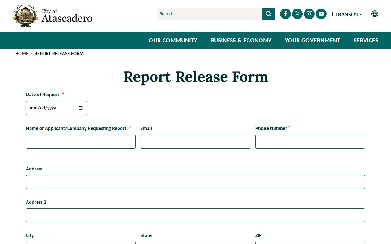
The Atascadero form makes clear that a releasable incident report is not a general block directory. The page states a charge of $0.50 for the first page and $0.10 for each additional page, with release controlled by law.
The Atascadero Police Records Bureau page describes the bureau's request channels and restrictions for law-enforcement records.
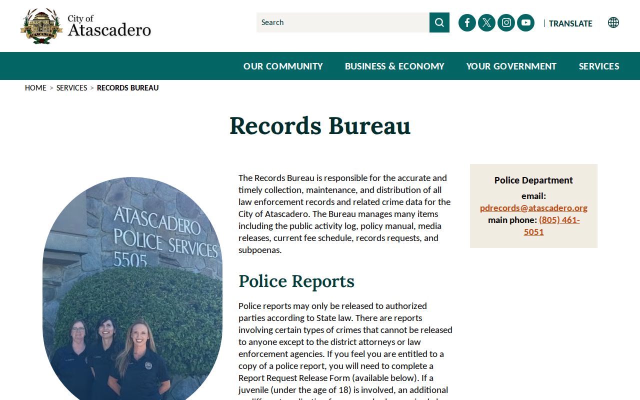
That Atascadero records route can help with an identified, releasable incident. It cannot supply a roster of people who live near a call, and juvenile or protected information may require a different process.
Atascadero Official and Commercial Tools
Generic commercial Atascadero neighbor-lookup tools can combine public and licensed data, but a compiled match is not an official Atascadero parcel record. It may be stale, merge two people with similar names, or carry a mailing address that has no current connection to the Atascadero block. Official tools are narrower, yet their limits are visible. A good comparison asks what each source can prove before any Atascadero contact is considered.
| Question | Official Local Record | Generic Commercial Tool |
|---|---|---|
| Which Atascadero land is next to the target? | GIS parcel shape and APN, subject to map limits | May suggest an address match without parcel authority |
| Who is named with the Atascadero parcel? | Assessor or recorder owner and mailing fields | May merge names or use a stale source |
| Who occupied a past Atascadero address? | Selected reverse-directory years and library evidence | May blend dates and current or old records |
| Can an Atascadero person be contacted? | Only through a lawful public contact route | A result does not grant permission to contact |
Neither category proves every Atascadero household member. The local record is better for an Atascadero parcel, permit, public filing, or dated directory entry. The compiled tool may offer a lead, but it should be checked against the custodian and discarded when the match is uncertain. Do not publish a guessed Atascadero neighbor identity from either source.
California Voter Rules for Atascadero Neighbors
California My Voter Status is a personal Atascadero verification tool. It asks for identifying information and returns the matching voter's registration and election information to that person. It is not an open Atascadero name-by-street or ZIP directory. The public voter file is governed separately by Elections Code sections 2180 through 2194, with permitted political, election, scholarly, journalistic, or governmental uses.
A qualified file requester submits an application with the applicant and beneficiary names, contact and mailing details, organization and purpose, scope, active or inactive choice, and any specific-voter fields. The statewide file fee is $100. A specific-voter request is $30 per record, capped at $100 and ten voters per application. County file fees vary. The application is submitted in person or by mail or courier, not by email or fax, and a permissible-purpose declaration is required for Atascadero voter data.
Included fields can cover name, date of birth, registration date, residence and mailing addresses, precinct, contact information, party preference, and requested participation history. Driver or ID numbers, the last four digits of a Social Security number, unique identifiers, signatures, and ballot choices are not public search fields. Knowing unauthorized acquisition or use can be a misdemeanor under California law. That is why Atascadero voter records cannot supply an open list of Atascadero neighbors.
Atascadero Neighbors and Court Records
San Luis Obispo Superior Court records answer an Atascadero case question, not an Atascadero block question. Public cases filed after 2014 are directed to re:SearchCA. Older Atascadero name research goes through the clerk, and exact-name rules matter. A court result can show a case number, party names and roles, category, filing date, court location, register events, hearing dates, and disposition when entered. It does not establish that a party lived next to the target address.
The SLO court criminal-case instructions explain the online, clerk, and kiosk paths for permitted records.
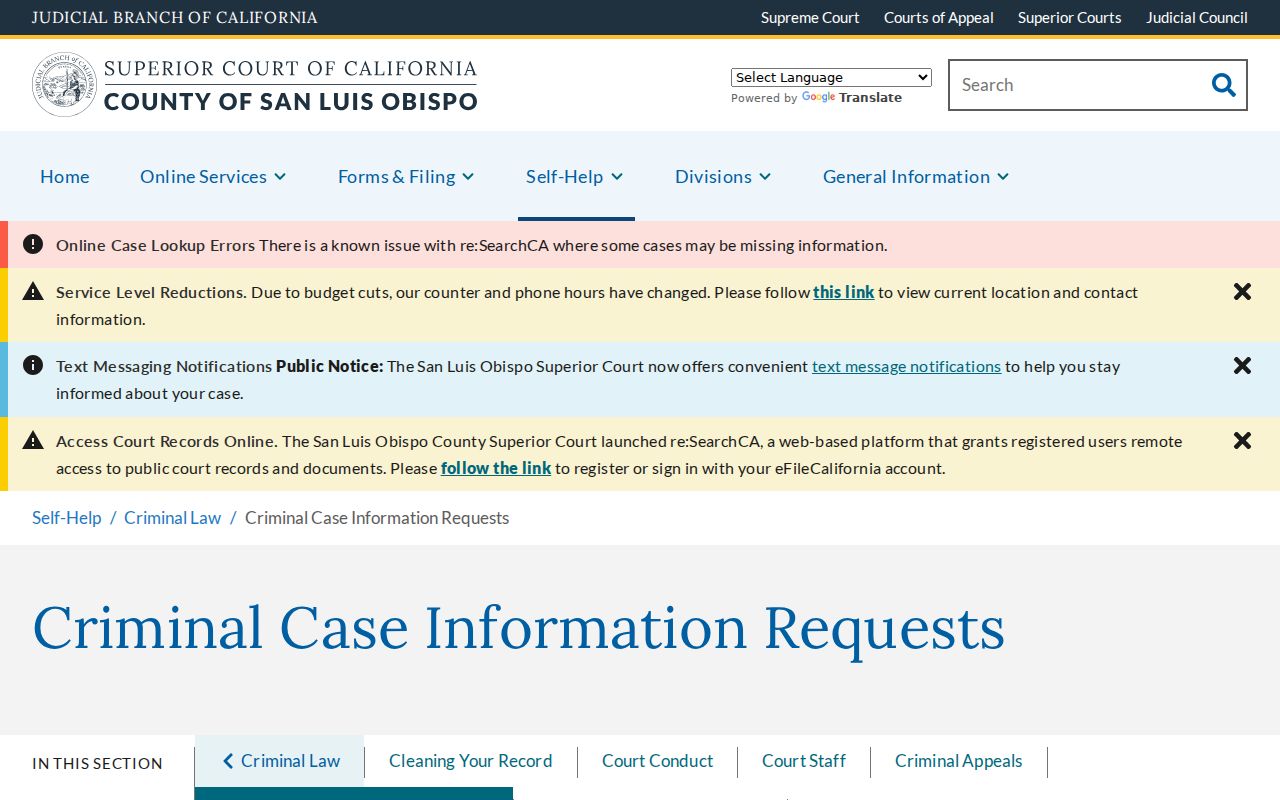
The Atascadero court capture shows a separate records channel for a named case. Older requests can use first and last name, optional middle name, and a file-date scope, but staff will not use date of birth to conduct a third-party pre-2014 name search.
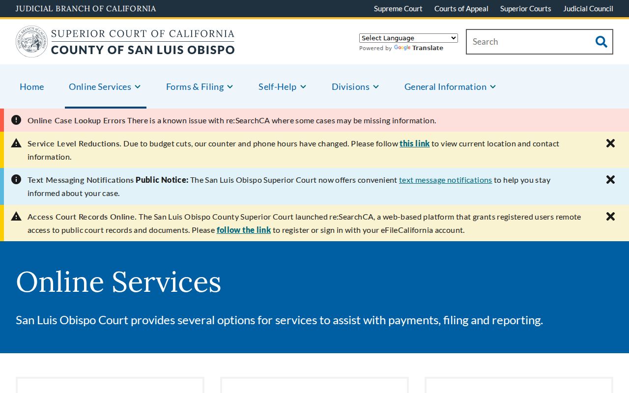
The San Luis Obispo Superior Court online-services page lists current Atascadero court routes and notifications.
Remote access can omit sealed, confidential, or protected Atascadero documents. Court kiosks may expose permitted documents that are not remote, while copy requests can carry page, research, or certification fees. An Atascadero court search is a focused verification step, never an Atascadero neighborhood roster.
Privacy Boundaries for Atascadero Neighbors
Many ordinary Atascadero household facts remain outside public block records. Utility and delivery accounts are not an Atascadero public directory. DMV address data is restricted by the federal Driver's Privacy Protection Act. Household members and occupants may never appear in an owner roll, permit, voter file, or court index. California Safe at Home can shield a qualifying participant's address through a substitute mailing address, and a missing Atascadero address should not be treated as proof that a person is absent.
Recorded Atascadero documents, public permits, and public contacts still carry limits. A public record may be redacted, dated, incomplete, or tied to a different role. California's Penal Code section 646.9 addresses stalking involving repeated conduct, a credible threat, and reasonable fear. Code of Civil Procedure section 527.6 provides a civil-harassment order path. Public visibility never grants permission to threaten, repeatedly contact, trespass, or republish protected Atascadero details.
Lawful use. Use Atascadero neighbors research for Atascadero block knowledge, reconnection, civic curiosity, and personal safety awareness. Never use an Atascadero map, roll, public contact, or compiled result to watch, harass, intimidate, or harm anyone.